|
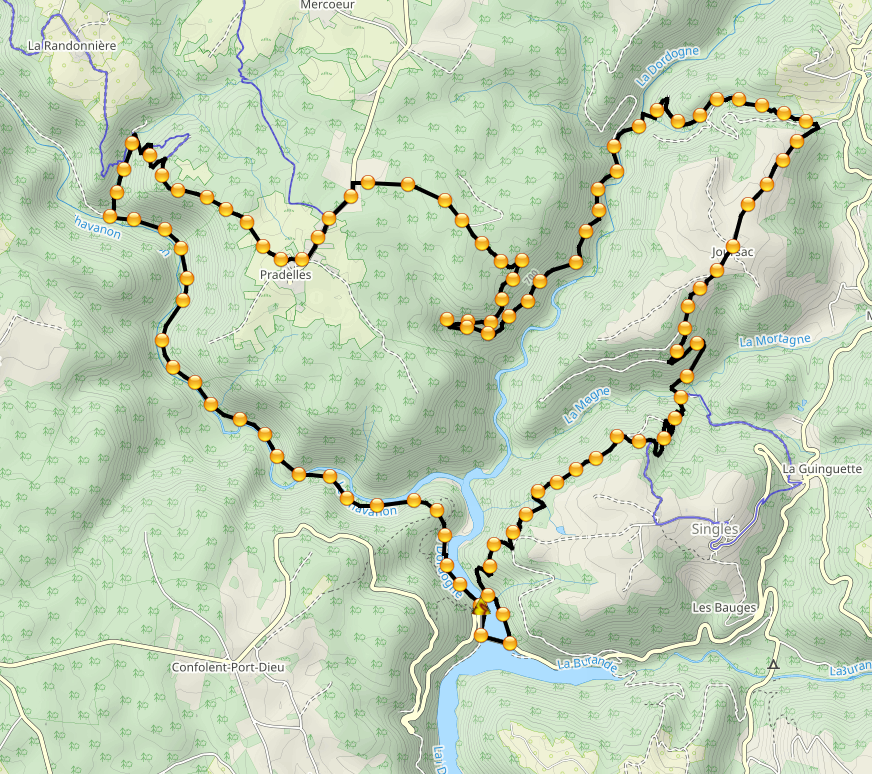
While designing a day-long hike with my best friend Bernie in the Gorges de la Dordogne, trying to keep the loop-route to a reasonable distance we came across three non-existent sections. The first one we could have actually added a kilometer to stay on the path, that one finally got changed in the GPX here under. The steep descent amid a moss-covered forest section and back up again was an adventure in itself, using caution to avoid stepping on the numerous decomposing tree logs that would have crumbled under our feet and sent us to the bottom. The second one was a stream crossing from the main forest track to an ancient mine and its access path climbing out of the valley again. Shallow waters in the midst of summer make it a safe option. The third, a long and potentially steep descent in bushy woodland was not necessary as an actual forest-maintenance path exists in the real world, but not on any map, be it the official French IGN or Open Street Maps. Having enjoyed a well-deserved refreshing beer, then came the time to edit Open Street Maps and add the third section. The path now exists "officially" and the full GPX tour here under can be walked safely. Enjoy
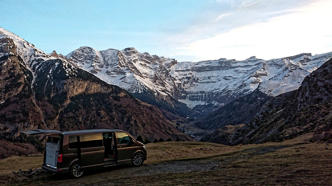
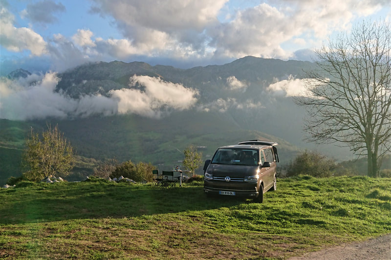
Magic evening with best friend overlooking Cirque de Gavarnie, Pyrénées, France. 3 days hiding in the mountains as pandemic lockdowns continue. #escapingcurfew |
Timeline
December 2022
Categories
All
|
||||||



 RSS Feed